Height and Width opposite way round #11
Description
Hi, when I go to use the height map exporter, the map area height and width are the wrong way around, when I use the dimensions, it exports the PNG short and fat. Any ideas why?
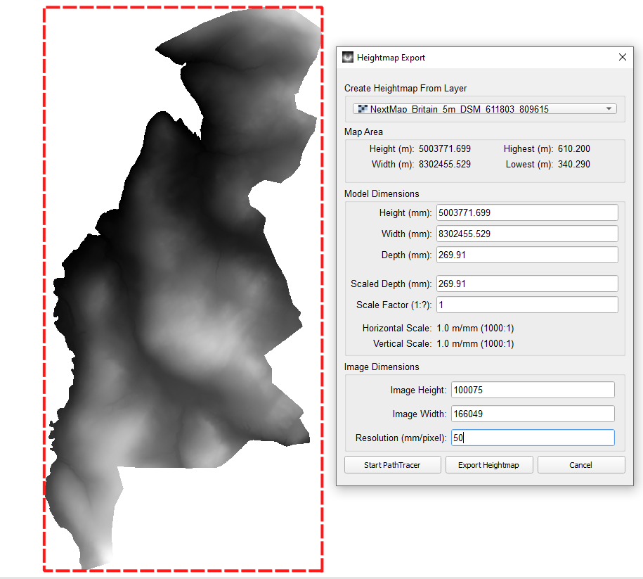
Hi, when I go to use the height map exporter, the map area height and width are the wrong way around, when I use the dimensions, it exports the PNG short and fat. Any ideas why?